Among all of the new features packed into iOS 15, Apple has included many exciting updates for Apple Maps. While some people continue to poke fun at Apple Maps as a lesser version of Google Maps, this year's updates further proves that Apple's first-party navigation app has a lot to offer.
While iOS 15 doesn't bring any new customization features or widget improvements like some users were hoping for, this year's update is still worth getting excited about. FaceTime is expanding to Android and Windows users, the Weather app has a completely new design, and notifications are being vastly upgraded (just to name a few of the highlights). While there isn't one major change that sticks out above the rest, all of these tweaks should come together to create another solid release from Apple.
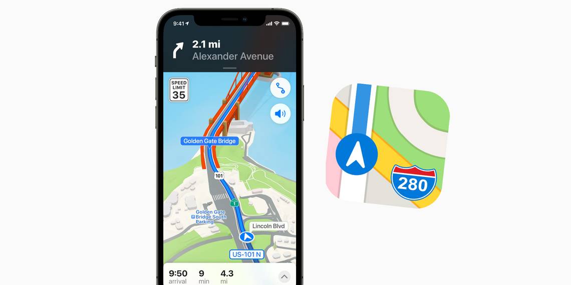
Taking a look at Apple Maps, specifically, this year's biggest focus is on adding substantially more detail to certain areas. When users are exploring cities like San Francisco or New York, they'll now be treated to an 'unprecedented' amount of detail. Roads will be marked with traffic lines, trees will show up where they should be, differences in elevation are present, and notable buildings get high-quality 3D models to mimic their real-world appearance. Similarly, Apple is also ramping up the details for driving directions. With iOS 15, Maps will now be able to show users crosswalks, turn lanes, and bike lines — with all of this presented in a new driving map that Apple says, "helps you see current incidents and traffic conditions at a glance."
Apple Maps Is Getting AR Walking Directions & New Transit Features

For folks that prefer walking over driving, iOS 15 has something for them, too. Similar to what Google Maps added in 2019 with Live View, Apple Maps will now use the iPhone's camera to offer AR features when someone is getting walking directions. Users just need to hold their iPhone up, briefly scan the area around them, and they'll instantly see augmented reality indicators to help them be on their way. Something else Apple Maps is copying from Google Maps is an improved experience for public transit. As part of iOS 15, Apple Maps will show users nearby stations, transit times, and details about various stops a certain train/bus/subway will make.
While some of Apple Maps' new features may be eerily similar to what's offered on Google Maps, that's not to say these improvements are any less important. More detailed maps for cities should make them easier (and more enjoyable) to navigate, AR directions are immensely helpful when walking around an unfamiliar area, and expanded detail for public transit is a godsend for anyone that relies on something like a subway for their commute. All of these things will be available for iPhone users when iOS 15 rolls out this fall.
Source: Apple