Google Maps is getting a visual update that adds higher detail to maps and more precise street information. With this overhaul, maps on Google will appear clearer, much more accurate, and easier to read. This update follows on from the many features and improvements that Google has added to Maps over its fifteen-year run to keep it an ideal service for navigation.
Over the last several years, Google has been updating its Maps service to better suit the needs of its diverse user base. In 2015, the company added offline functionality to Maps, which allowed users to download and use maps without being connected to the internet. Last month, Google rolled out new bike-sharing features. While this new update will largely benefit all users, its features may be most helpful to outdoor enthusiasts, solo commuters, and planners.
This week, Google announced that it will be updating Google Maps by adding higher fidelity and better street visualization to its maps. Much like the addition of commute information and popular times for businesses, Google claims that this update is all about helping users better understand where they're going and how to interact with the world around them. Some of the features will launch this week, with more updates to follow throughout the rest of the year, and into the early part of 2021.
What To Expect With The Latest Maps Changes

The biggest change to come to Google Maps this week is the use of high-definition color-mapping techniques. Google has developed a new color-mapping algorithm that adds further detail to its already impressive satellite imagery. The redesigned maps will be available for the 220 countries and territories that are currently supported by the service. Once this update drops, users will be able to see natural features on maps far more clearly. Currently, maps only display simplistic color information, but soon users will see a better visualization of the natural landscape, which will help differentiate diverse areas. Essentially, when looking at the newer version of a map, the user will be able to distinguish large forests, empty fields, dry deserts, and snow-capped mountains, which should be especially helpful when planning an outdoor trip or hike.
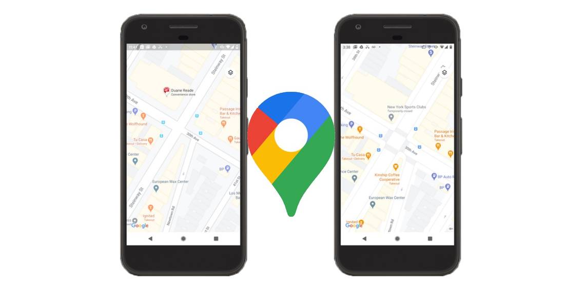
The update will also refresh the way that Google Maps handles street information. Over the next few months, Google will be adding higher detail maps for larger cities, including London, New York, and San Francisco, with plans to expand the program soon after. These maps will more accurately portray street information by showing details that are currently unavailable on Google Maps, such as crosswalks, pedestrian islands, and road shape. According to Google, much of this was developed with accessibility and solo transportation in mind, and in light of the COVID-19 pandemic.
Source: Google