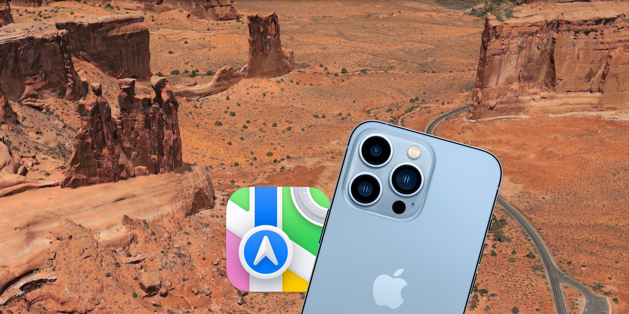
Apple recently demonstrated the Flyover technology of its Maps app, pointing out that this feature can be used during National Park Week to get a nice overview of the beautiful, scenic landscape from the air. While the best way to experience nature is in person, travel can be difficult sometimes, unlike a virtual adventure that can be enjoyed at any time of day regardless of the location.
Apple launched its Google Maps competitor in 2012, promising features like turn-by-turn directions, three-dimensional maps, and 'Look Around', Apple's equivalent of Google's Street View. While the concept was sound and became the default option on the iPhone, Apple soon began getting complaints when the inevitable comparison of its Maps app to Google Maps found it wanting in terms of coverage and accuracy. Apple persisted, and over the years, the gap has narrowed to the point that Apple Maps matches Google Maps on the iPhone in many ways.
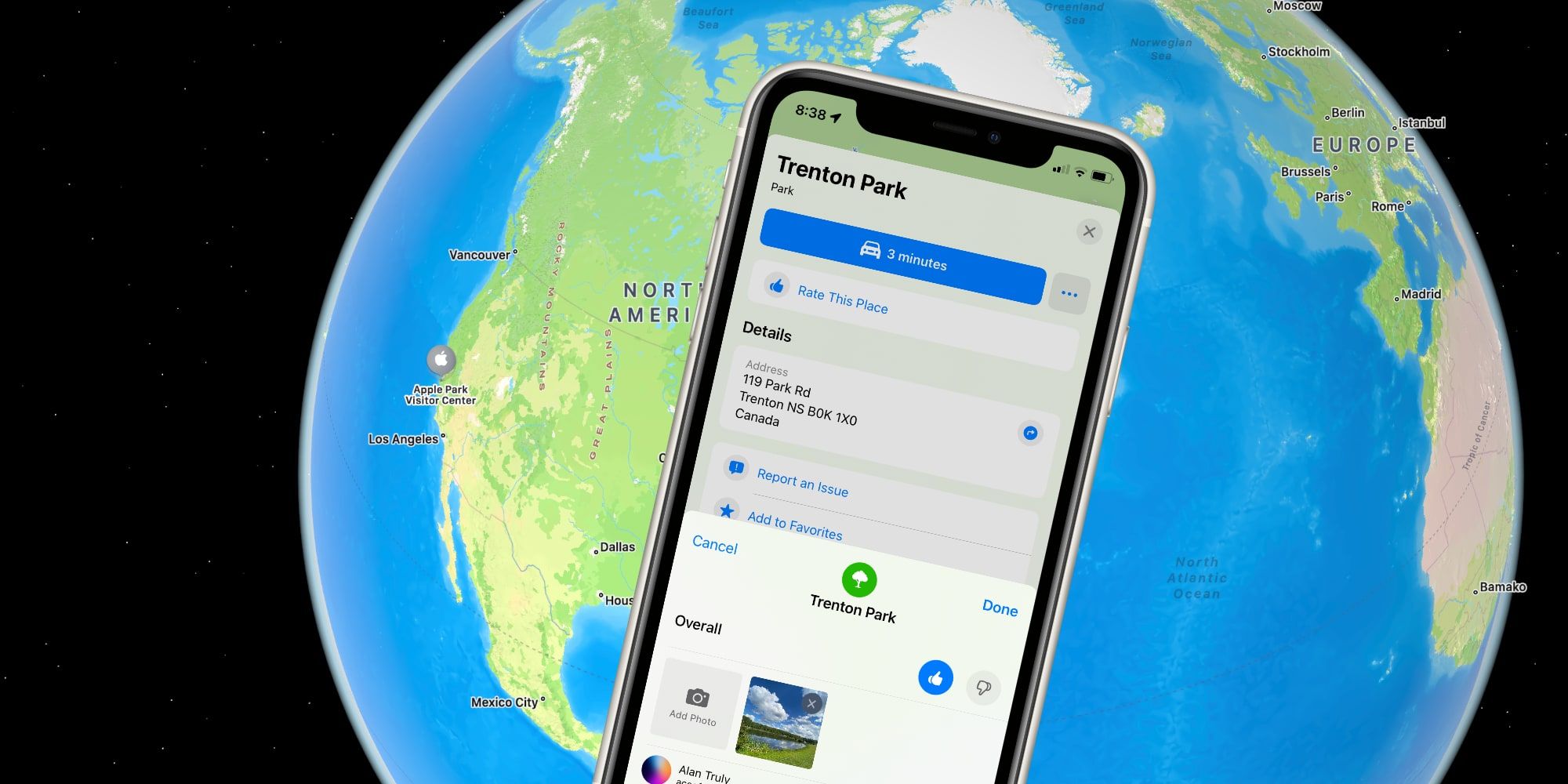
The Flyover feature was added to Apple Maps a decade ago, yet the option is only available in a select group of major cities and landmark locations. There's a good chance that many users could be unaware this feature even exists. A recent Tweet by Apple Support brought the feature to light, and shows what Apple Maps Flyover looks like on the iPhone. When viewing a map, tapping a city or landmark's name opens a place card, and if Flyover is available for that location a button will be visible just to the right of Directions. Tapping it will load the aerial view and selecting Start Tour begins a preset flight path that covers the main points of interest.
Apple Maps Flyover Locations
While Apple has three-dimensional Flyover imagery and map data for several locations around the world, the selection is still quite limited. The challenge is knowing which places support the Flyover feature without randomly searching and tapping. Yosemite, the Grand Canyon, and Lassen Volcanic National Park were featured in Apple's Tweet, providing a few good locations to start with, and many more can be found via a list on Apple's website.
It's quite stunning to see a detailed aerial view of Yosemite or other National Parks. There are two modes of operation when it comes to using Flyover. When a Flyover loads, it's in a free-look mode, with a drag gesture letting users move the viewpoint or a pinch gesture zooming in and out. By tilting and angling an iPhone or iPad it's possible to look around as if hovering above the ground or flying a drone, a fun way to virtually visit interesting locations around the world with Apple Maps.
Source: Apple Support/Twitter, Apple


